
|
|

 |
||
| 715-254-1636 |
|
View your Wisconsin Aerial Photography right here on our site. NEW IN 2020
When you finish signing up for new custom photography, select View Proofs Online from the main menu. Our entire historical database from 1991 to 2025 is now available in 2026. To continue with your new photography request, select your County. By signing up for new photography and making a qualifying purchace, you will be given FREE access to your previous photography of the same location. Wisconsin County Selection Map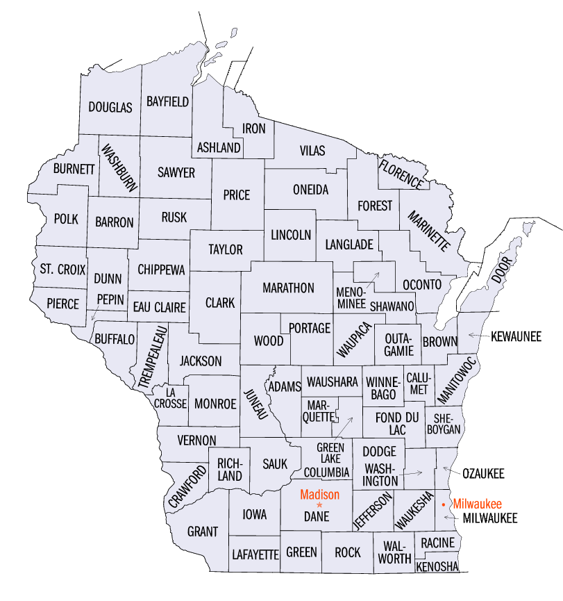
|
Terms Of Use |
|
Phone: 715-254-1636 | Fax: 715 254-1792 | Email: info@americanimages.com |